Method: Aerial Photography
Aerial photography is taking photos of something on the ground from an elevated position. It can be done using drones, helicopters, airplanes, blimps, or similar aircraft devices. The photographs can be used to see a site from far away or to capture the roof or other high surface not visible from the ground.
Arin Bennett from the UVA Library and Shayne Brandon from the Institute for Advanced Technology in the Humanities (IATH) (pictured left with students) came to Birdwood to take aerial photographs and video. 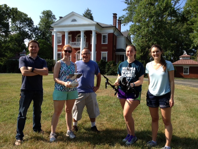 They used a DJI-manufactured quadcopter drone (small helicopter with 4 propellers) called Inspire. A hand-held device with an iPad that shows the camera’s view is used to control the quadcopter. The operator is able to take photos or video at the touch of a button, just as if he or she were taking photos on the iPad. There is also a gimbal on the quadcopter that self-stabilizes so that the camera is still enough for photos, while also maintaining its position, flying in the air. (pictured right, Arin with students as quadcopter takes off)
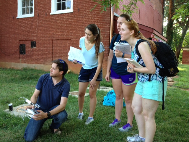
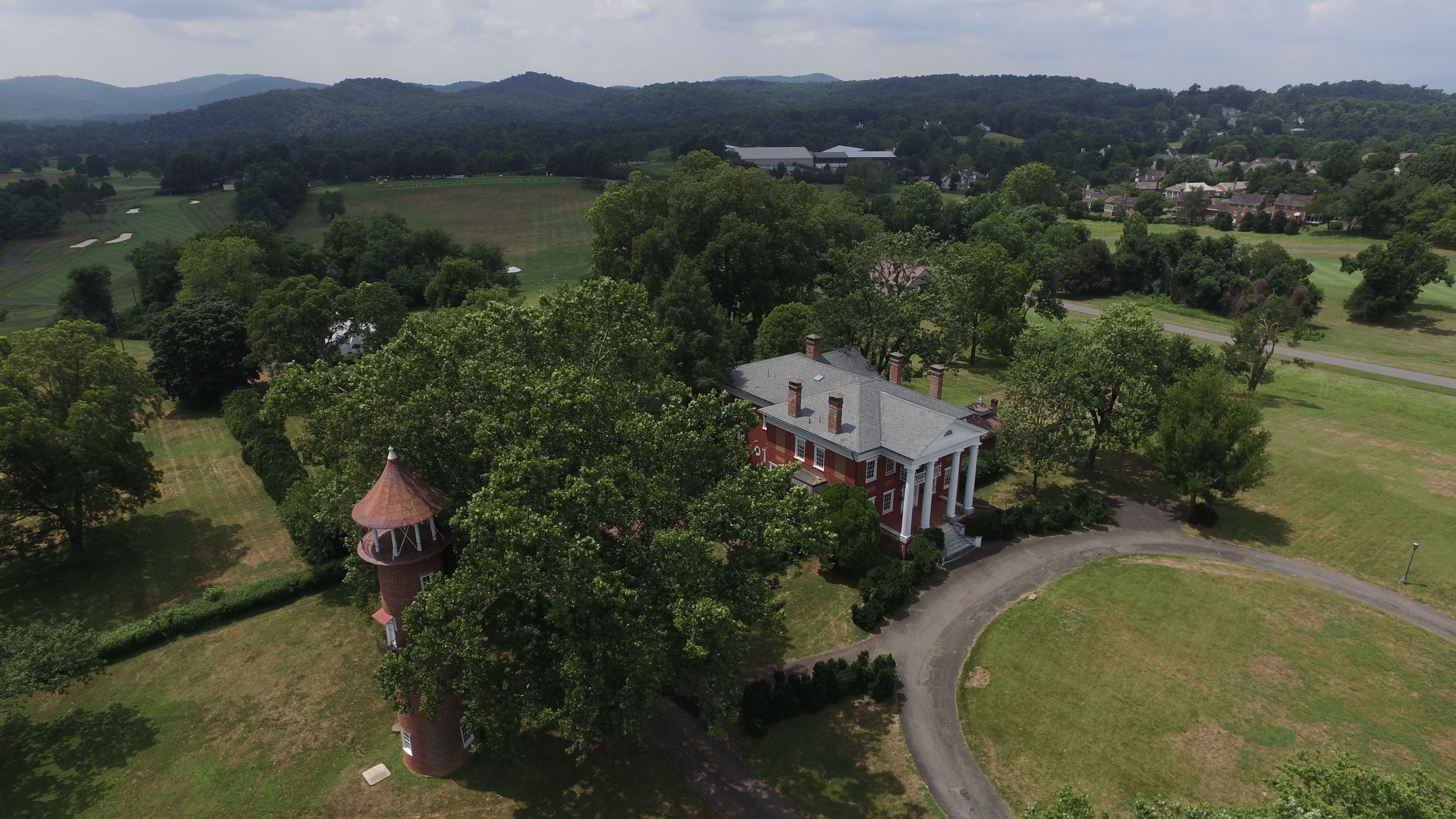
There are photos and video of the Birdwood main house (below left), the Smokehouse, the water tower, the area where a formal garden was planned, the backyard, and terraced South Field near the stone double cabin (below center).
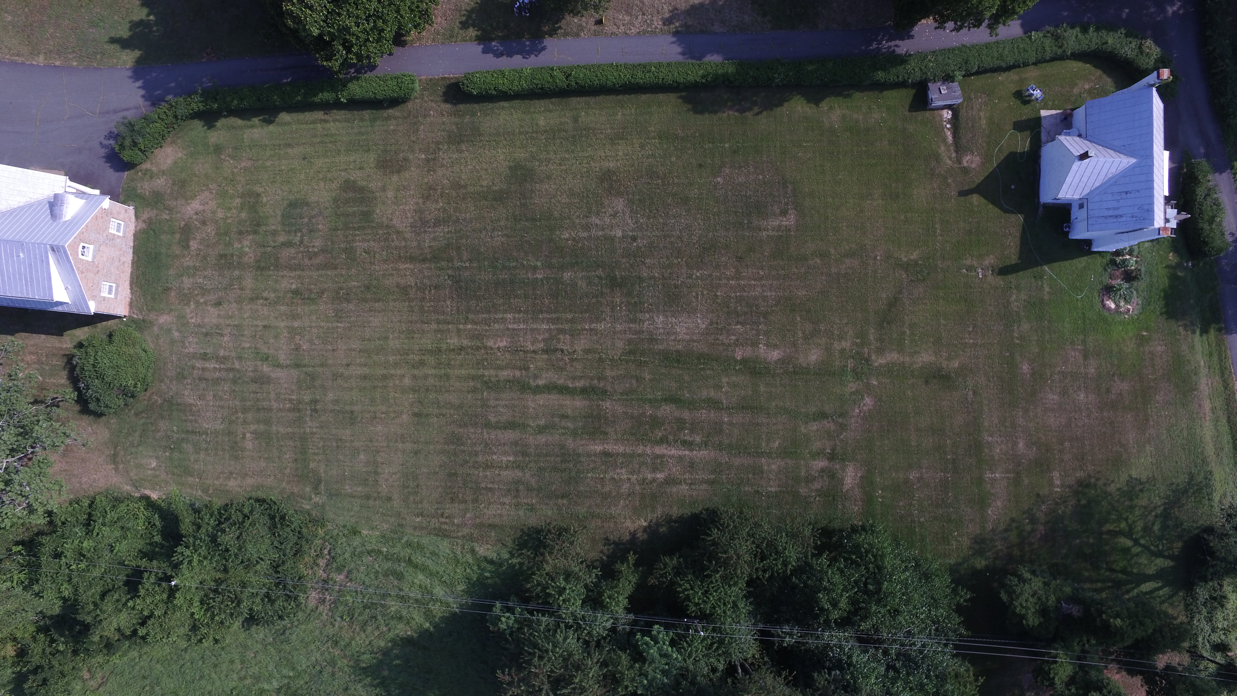
The photos and video are very high quality and provide access to things like the roofs of buildings, as well as views of the south field from very high up (almost 400 feet). This aerial footage can be very helpful when working with Lauren Massari (from IATH) on the 3D model of the Smokehouse, as the laser scan data from Will Rourk (UVA Library) isn’t able to fully capture the height of the roof. The aerial photos of the South Field also influenced where precisely in the terraced field GPR was conducted.