Monday, July 17, 2017
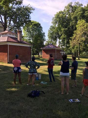
Arin Bennett, from the UVA Library, joined us today to fly a drone and take aerial photos and videos to incorporate into our research. First, Arin taught us the basics of his drone, the DJI Mavic Pro. It is able to take 4K resolution videos, while being able to self-correct itself midair to maintain high quality. The drone also took high quality photos of the kitchen and the surrounding landscape. We plan to use this information on the kitchen to review and calculate precise measurements of the hard to reach areas of the building; the roof, chimney, and finial. With the photos of the landscape, our goal is to analyze the picture and try to find patterns in the ground to compare with other maps. Our class ended with some video taking of the estate in preparation for a potential introduction video to the class website. Thank you to Arin for taking these amazing shots of the estate!