Method: Ground Penetrating Radar
 Ground Penetrating Radar (GPR) is a machine that uses radar waves to detect disturbances in the ground. This is useful for historic preservation because disturbances can range from soil being displaced to a foundation of a house. Our class used the GPR on the South Field and the Formal Garden, possible location of a Charles Gillette planned garden area.
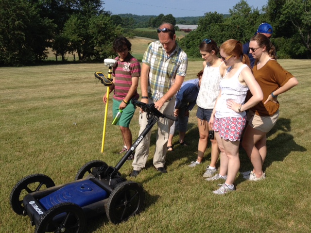
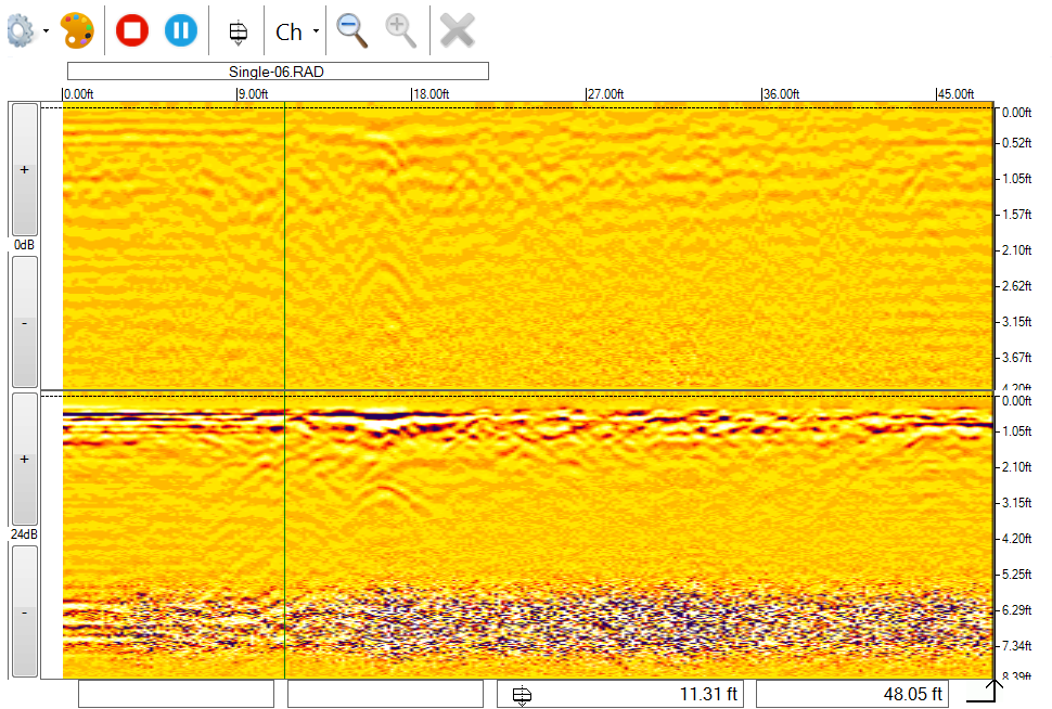
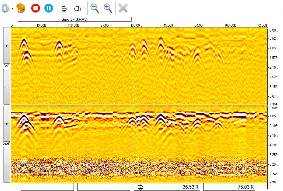 When making passes over the ground, the GPR takes information under the machine, along the path the machine is making. To obtain better information if there is a disturbance, the machine can be pushed in a perpendicular direction as the disturbances. When there is a disturbance, it appears as a parabola on the screen. The larger the parabola, the more of a disturbance detected. Matthew Bartley, a Geospatial Engineering Data Technician at University of Virginia, and Mohamed Ihsan, a student intern, instructed the class in GPR technology. The GPR machine resembles a lawn mower and uses three different types radar waves, each best at different depths (top and bottom right: images showing how information from the GPR is displayed).
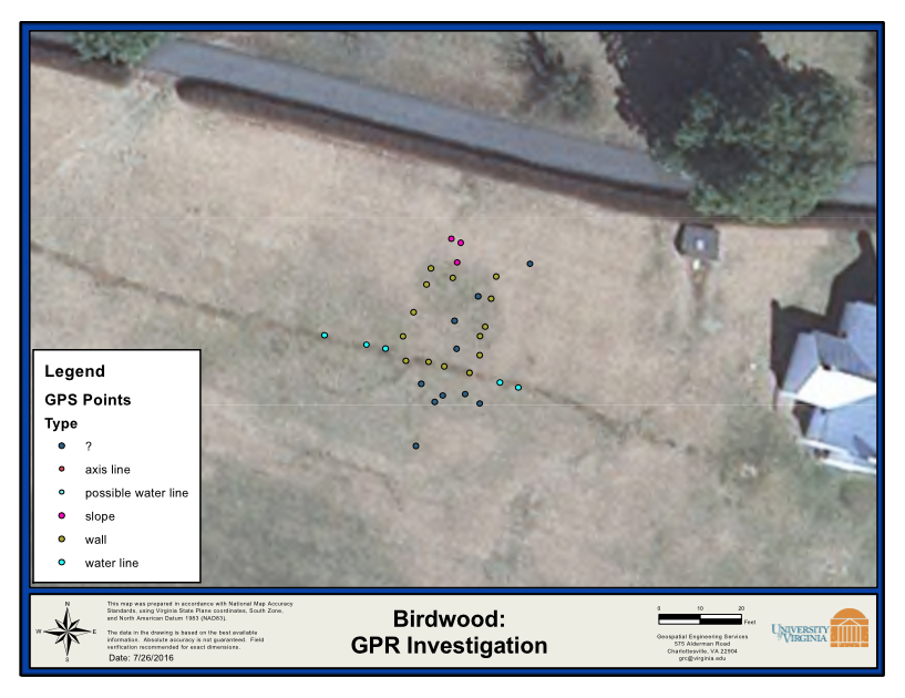
GPR provides very useful information because it shows if something is underground, such as foundations of a house or something buried, or if there is nothing there. This shows a limitation in using GPR. It is difficult to interpret the data coming from the machine. A trained, experience professional is needed to analyze and interpret the data. Finding or not finding information is still useful because it can support a hypothesis or disprove it. Even finding disturbed soil can disprove a hypothesis because the disruption maybe be caused from something other than the information a researcher is looking for (bottom left: merging findings with aerial photo of South Field).